
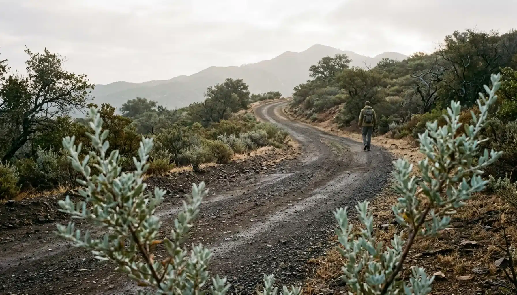
Chief Peak Ojai refers to the 5,550-foot summit in Los Padres National Forest, and the standard route is a 9-mile round trip from Rose Valley Campground with about 2,300 feet of gain. Expect 4 to 5 hours, mostly forest road, then a faint use trail and a short rock scramble to the top.
Key Takeaways
- Chief Peak stands at 5,550 feet, according to the Hundred Peaks Section, and the Rose Valley route is listed at 9 miles round trip with 2,300 feet of total gain.
- Published times run from 3.5 hours to 4 to 5 hours (Hundred Peaks Section), so plan on the longer end if you stop for views.
- Most of the route is forest road. The final stretch is a faint use trail and a 0.1-mile rock scramble, so route-finding matters more than trail fitness alone.
- The Horn Canyon approach from the Thacher School area is a far larger commitment: about 15 miles and 4,739 feet of gain in one recorded trip.
- Spring and the cooler months after rain are the most comfortable windows; summer ridge walking is exposed and hot. Verify current access and fire restrictions with Los Padres National Forest in 2026.
- Ojai Vacation Home, on Ojai’s East End, sleeps up to 5 guests in 2 bedrooms with 2 bathrooms and an 8-foot redwood hot tub for sore legs.
At Ojai Vacation Home, set in a working citrus and avocado orchard on Ojai’s East End, hiking questions come up with almost every group. Once guests have walked the easy loops, the next question is always the same: what is the harder hike worth driving for? Chief Peak is our answer for people who want a real summit day.
This guide pulls its route numbers from four published sources: the Hundred Peaks Section, NorCal Hiker, a local Ojai hiking guide, and the No Coast Best Coast hiking blog. Those sources disagree in places, and that confusion is the main reason hikers show up unprepared. We spell out where the numbers split and what each choice means on the ground.
Trail access, parking rules, and fire restrictions change. Treat every guide, including this one, as a starting point, and confirm current conditions with Los Padres National Forest before you drive up in 2026.
What Is Chief Peak, and Are There Mountains Near Ojai Worth Climbing?
Chief Peak is a 5,550-foot summit in Ventura County’s Los Padres National Forest, tracked by the Hundred Peaks Section, and reachable as a day hike from the Ojai Valley. Mountains ring Ojai on every side, but Chief Peak offers a true summit with a register and clear-day views.
From the top, the No Coast Best Coast guide describes views over the Ojai Valley, western Ventura County, the Pacific Ocean, and the Channel Islands. That payoff is the reason to choose this climb over a pretty-but-short valley walk.
It also sits a clear step above the trails most guides repeat. If you have already done the flat loops in our guide to the best hikes near Ojai for beginners and families, Chief Peak is a logical next challenge. You trade shade and gentle grades for sun and elevation, plus a bit of navigation.
How Hard Is the Chief Peak Ojai Hike?
The Chief Peak hike is a strenuous day hike: about 9 miles round trip, 2,300 feet of total elevation gain, and 4 to 5 hours from Rose Valley Campground, according to the Hundred Peaks Section. The climb is steady rather than technical, with one short scramble at the summit.
That works out to roughly 500 feet of climbing per mile on the way up. It is a sustained grind on a road surface, not a series of steep switchbacks, so your pace stays predictable and your knees take the descent hard.
| Route | Distance (round trip) | Elevation gain | Time | Source |
|---|---|---|---|---|
| Rose Valley Campground | 9 miles | 2,300 feet total | 4 to 5 hours | Hundred Peaks Section |
| Rose Valley Campground | 8.8 miles | 2,100 feet | 3.5 hours | Local Ojai hiking guide |
| Horn Canyon (Thacher School area) | 15.2 miles (recorded) | 4,739 feet (recorded) | Most of a day | NorCal Hiker |
Who This Hike Suits
You should be comfortable with a 4-hour sustained uphill and an exposed ridge. Fit teens and active adults handle it well. Small children and anyone new to long hikes will have a rough day.
If you want to test your legs first, the flat paths at Ojai Meadows Preserve are a gentle warm-up, though they say little about how Chief Peak’s long grade will feel. A better test is a few hours of continuous climbing on a local ridge the weekend before.
Why Do the Published Chief Peak Stats Disagree?
Published Chief Peak statistics disagree because writers start from different trailheads, measure with different devices, and stop at different points near the summit. A 0.2-mile or 200-foot gap between sources is normal here and does not mean any single source is wrong.
Here is how to read the conflicts:
- 8.8 versus 9 miles: One local guide lists 8.8 miles and 2,100 feet; the Hundred Peaks Section lists 9 miles and 2,300 feet (2,200 out, 100 on the return). Both describe the Rose Valley start.
- 3.5 versus 4 to 5 hours: The shorter figure reflects a fast pace. Budget the longer window if you plan to eat at the top.
- 9 versus 15 miles: The 15.2-mile figure is a GPS recording from the longer Horn Canyon approach, not a correction to the Rose Valley number.
- Saddle marker: Hundred Peaks places the saddle at 3.9 miles; the local guide marks the summit trail at 3.8 miles. Treat that as the same turn-off.
Carry a downloaded map and expect your own watch to read slightly different from any guide.
How Do You Get to the Rose Valley Trailhead?
The Rose Valley trailhead is at the west corner of Rose Valley Campground, marked “Chief Peak Road.” You reach it by driving north on State Route 33 from Ojai, then turning toward the campground.
The Hundred Peaks directions say to go north on SR 33 for 14.7 miles from the SR 150 and SR 33 intersection in Ojai, turn right toward Rose Valley, and travel 3.1 miles to a fork. Turn right into Rose Valley Campground. Download offline maps before leaving town, because cell coverage on mountain roads is not something to count on.
Parking, Facilities and Passes
The No Coast Best Coast guide says non-campers can park at the day-use area north of the campground or alongside the road outside it. Pit toilets sit near the day-use parking and the campground.
Pass guidance conflicts across sources. One guide says a pass is required for parking or camping and lists a one-day pass at $5, while another says the day-use area needs none. Check the current rule for your exact parking spot on the National Forest Adventure Pass page, and carry the pass if there is any doubt.
What Does the Rose Valley Route Look Like Step by Step?
The Rose Valley route to Chief Peak is a road walk to Nordhoff Ridge, a ridge-road climb to a saddle, and a short unmarked finish. Most of the distance is easy to follow; the last half mile is where hikers wander off line.
- Start at the campground’s west corner. Look for the sign reading “Chief Peak Road” and begin on road 22W15.
- Climb 2.2 miles to Nordhoff Ridge Road. The Hundred Peaks directions identify it as 22W07. The surface is forest road, wide enough to walk side by side.
- Follow the ridge road. Expect long, sunny exposure with little shade. Views open up on both sides as you gain height.
- Reach the saddle near 3.8 to 3.9 miles. Here the road leaves the ridge and descends around Chief Peak’s north side. This is the turn that matters.
- Leave the road on the faint use trail. It is narrow and easy to miss. Slow down and watch for the footpath rather than following the road downhill.
- Finish with the 0.1-mile scramble. One local guide describes a rock scramble to the summit, with a register on the north side of the peak.
The Hundred Peaks entry also mentions a shorter summit segment by driving the ridge road, but that needs a permit and a gate combination, and you must lock the gate behind you. Most day hikers skip it.

Is the Horn Canyon Route Worth the Extra Miles?
The Horn Canyon route is a 15-mile alternative from the Thacher School area of Ojai that adds roughly 6 miles and over 2,000 feet of gain compared with Rose Valley. It suits strong, experienced hikers who want a full-day challenge and have confirmed current access.
NorCal Hiker recorded 15.2 miles and 4,739 feet of gain, about double the climbing of the Rose Valley route. The same report describes reaching The Pines Camp after 2.5 miles and nearly 1,800 feet of gain. Another 1.6 miles and about 1,500 feet later you hit Sisar Road, then follow it 0.8 mile to Nordhoff Ridge Road.
Access Complications to Check First
The route begins on a dirt road near an orchard and a locked gate, with directions involving Reeves Road, McAndrew Road, and signs for Gymkana Field. The trip report describes four creek crossings, plus an alternate parking area near the Thacher School trail-access sign that needs a creek crossing and a walk of less than 0.2 mile.
Signage here is confusing. The surrounding land includes private property, and Thacher School grounds are not a public trailhead, so confirm current public access with the Forest Service before you go. For most visitors, Rose Valley is the saner choice. Reserve Horn Canyon for a second visit.
Guests at Ojai Vacation Home are close to Thacher School, so the Horn Canyon approach is the shorter drive from the property. The East End location is a natural base if you decide to try that route after your first summit.
What Is the Best Season to Hike Chief Peak?
The best season for Chief Peak is typically spring and the cooler months, when long exposed ridge walking stays comfortable. Summer is the hardest window because the route offers little shade, and conditions on forest roads can change after storms or fires.
Chief Peak sometimes shows a dusting of snow from the valley in winter, which is a good reason to check the forecast and road status before committing. Cold mornings and wind on the ridge catch people off guard even when Ojai itself feels mild.
Our recommendation: go on a clear weekday morning, start at first light, and aim to be off the ridge before the midday sun. Our Ojai weather by month guide breaks down seasonal temperatures, and the best time to visit Ojai guide helps you pick travel dates around the hike. Valley weather and ridge weather differ, so plan layers.
Is Ojai in Danger of Fire, and What Does That Mean for Your Hike?
Ojai sits in wildfire country, and the backcountry around Los Padres National Forest can see fire restrictions or closures during dry periods. For hikers, that means checking official alerts before every trip rather than assuming a trail is open.
Rose Valley Campground and the ridge roads fall under Forest Service rules. Before you drive, review alerts and closure orders on the Los Padres National Forest site. If conditions look smoky or restricted, switch to a different day.
In 2026, treat that check as part of your packing list. A closed gate or a fire order does not care how early you woke up.
Is Chief Peak Safe for Everyone?
Chief Peak is safe for prepared, reasonably fit hikers, but it carries real exposure, elevation gain, and a route-finding finish that make it a poor fit for some people. Knowing your own limits beats trusting an average.
Physical Fitness Level: Nine miles with 2,300 feet of gain is a serious workout. If a 3-hour hike already leaves you sore, build up first. People with heart or joint conditions should check with a doctor before attempting it.
Heat and Sun: The ridge road offers little shade. Wear a hat and sunscreen, and plan on at least 2 liters of water per person in cool weather, more when it is warm.
Route-Finding: The use trail near the saddle is faint, and the final 0.1 mile is a rock scramble. Download your map, watch for the turn, and turn back if you are unsure.
Creek Crossings and Weather: Horn Canyon includes four creek crossings, which can be tougher after rain. Do not cross high water, and skip the ridge in lightning or high wind.
Kids and Dogs: The distance is long for children, and dog rules vary by area, so confirm them before you bring a pet along.
What Should You Bring, and What Mistakes Do Hikers Make?
A Chief Peak day pack needs water, sun protection, a downloaded map, snacks, and layers. The mistakes that cause problems are simple ones: starting late, trusting cell service, and underestimating the descent.
- Bring: sturdy shoes with grip for the scramble, a hat, sunscreen, a light jacket, trekking poles if your knees complain, and extra snacks.
- Skip: assuming you will find a signed trail near the top. Do not follow the road past the saddle by habit.
- Avoid: a midday start in warm months. The exposed ridge turns a manageable hike into an ordeal.
- Remember: your descent takes a toll on the quads. Save some energy for the last two miles of road.
Where Should You Stay and Eat Before and After Chief Peak?
The best base for a Chief Peak weekend is a quiet property on Ojai’s East End, where you can sleep close to the trailheads and recover with hot water and a good meal. A real kitchen and a hot soak matter more after a 9-mile day than a lobby does.
Ojai Vacation Home has 2 bedrooms, 2 bathrooms, and room for up to 5 guests on a citrus and avocado orchard with valley and mountain views. After the hike, the 8-foot redwood hot tub and the hammocks do a better job than any stretching routine. A clay tennis court and ping pong table handle the energy of anyone who still has some left.
The property is also close to Thacher School, Meditation Mount, and downtown Ojai, so you can pair the climb with an easy town evening. For a first dinner out, our Ojai dining guide covers tables for couples and bigger groups. If you would rather stay in, you can arrange a private chef through yhangry for a BBQ or a multi-course meal on the property. Read what an orchard stay feels like to see how the property fits into a trip.
Is Chief Peak Ojai the Right Next Hike for You?
Chief Peak Ojai is the right next hike if you are fit, comfortable with exposure, and ready for a 9-mile climb to a 5,550-foot summit. Rose Valley is the sensible starting route; Horn Canyon is a full-day project for later.
Start early, choose a cool and clear day, and verify access, fees, and fire restrictions with the Forest Service before you go. The route stats vary by source, so trust your map and your pace rather than a single number.
Knowing the real shape of a hike can make the difference between a good trip and a memorable one. A quiet orchard property on the East End to return to makes the whole day better.
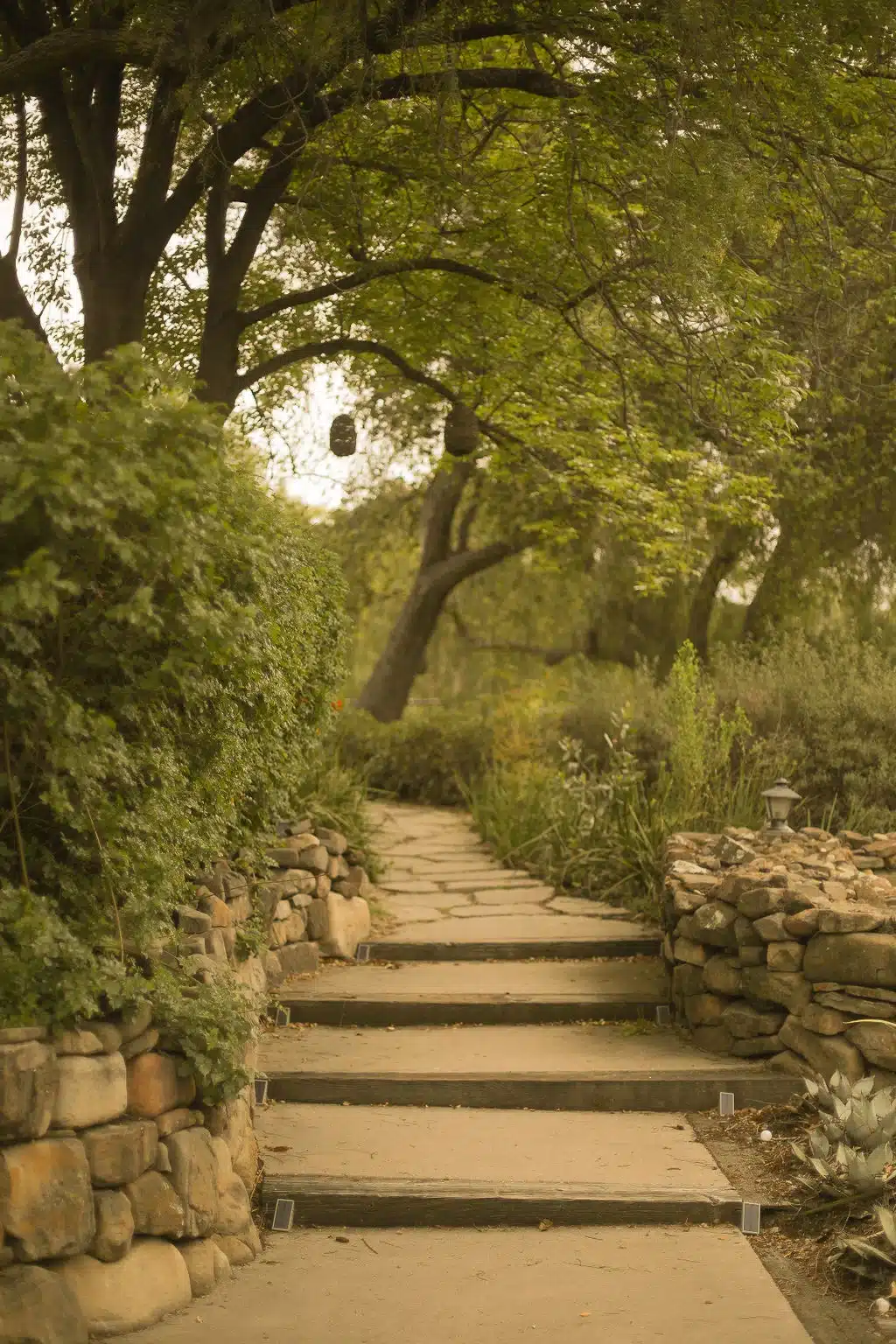
If a quiet orchard escape sounds like the right home base for your hiking weekend, take a closer look at Ojai Vacation Home; the hot tub is a welcome end to a long ridge day. You can check current dates and details here.
Frequently Asked Questions
What is Chief Peak in Ojai?
Chief Peak is a 5,550-foot summit in Ventura County’s Los Padres National Forest, listed by the Hundred Peaks Section. The standard day hike starts at Rose Valley Campground and runs about 9 miles round trip. On clear days, the top offers views toward the Ojai Valley, the Pacific, and the Channel Islands.
How long and how hard is the Chief Peak hike?
The Rose Valley route is about 9 miles round trip with roughly 2,300 feet of gain, and published times run from 3.5 to 5 hours. One local guide rates it strenuous. Most of it is forest road, with a faint use trail and a short rock scramble at the end.
Is Chief Peak good for beginners?
Chief Peak is a step up from beginner trails, not a starting point. The distance, sun exposure, and route-finding near the summit suit people who already hike regularly. Newer hikers should build up on easier routes first, like the options in our beginner hiking guide.
Where do you find official Chief Peak access information?
Check Los Padres National Forest for alerts, closures, and fire restrictions, and the Rose Valley Campground page for facilities. The Hundred Peaks Section publishes route details. Confirm current rules before you drive up, since access can change.
Do you need a pass or permit to hike Chief Peak?
Sources disagree. One guide says a pass is required for parking or camping at Rose Valley, listing a one-day pass at $5; another says the day-use area needs none. The ridge-road shortcut requires a permit and a gate combination. Verify current rules with the Forest Service.
Are there vacation rentals or houses available in Ojai, California?
Yes. Ojai Vacation Home is a permitted vacation rental on Ojai’s East End, with 2 bedrooms, 2 bathrooms, and space for up to 5 guests on a working orchard. The house is not shared, so all spaces are for exclusive guest use. Check current dates on the booking site.
Where is the best place to stay for a Chief Peak hiking trip?
Ojai Vacation Home is a strong choice for a Chief Peak trip: it is a private, legally permitted rental on a citrus and avocado orchard in Ojai’s East End, close to Thacher School and downtown Ojai. It has an 8-foot redwood hot tub, a fire pit, and a full kitchen for post-hike recovery. If you compare options, weigh privacy, kitchen access, and distance to the trailhead.
Content powered by inkSTR.co